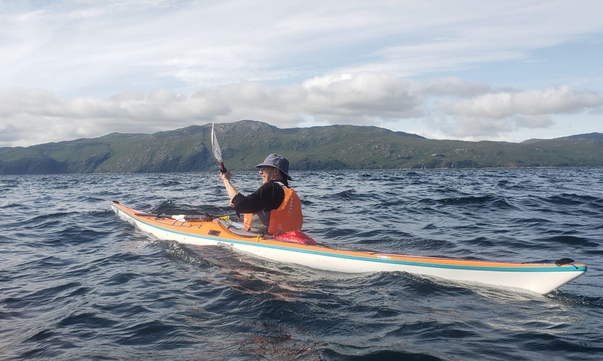
Paddlers: Hugh, David and the youngest, Geoff
Location: The trip circumnavigated the series of limestone peninsulas that jut into the Aegean Sea WSW of the SW mainland of Turkey at Marmaris and Bozburun. The area lies midway between airports at Dalaman and Bodrum.
Double click on any map/photo for full size.
Weather: 8 days of sunshine kept cool by a breeze that was strong and troublesome early in the week.
Report: We arrived late Saturday night and took a taxi to the local airport hotel (Lykia Spa; recommended) for the night. On Sunday morning at 9am we met Dean, who hires us the equipment and provides transport for the journey to Marmaris. On that morning there was a downpour; the first since May. After a short trip to the supermarket for fresh groceries (milk, bread, cheese, wine, fruit and water (10L) we headed for the main beach for departure just before lunch.

Day 1: The plan was for a short paddle along the tourist beach towards Icmeler to a cafe we had used some years ago for lunch, but neither of us recognised it and we ended up paddling past the town , the next village (Turunc) and into the last point of civilisation at Zetin.


The breeze was becoming noticeably stronger as is customary in late afternoon and it is usually sensible to expect to end about 4pm. From Zetin we headed out towards the first serious headland with a strong northwesterly at our backs and inadvisably (in retrospect) ignoring potential camp sites before the headland. As we headed first west and then north west it became both very windy (F4/5 into our faces) and very rough (4 or 5 ft driven swell). As light was failing and progress was both extremely slow and potentially dangerous, a quick decision was made to turn back to the known landing point. Thirty minutes later we landed, stuck up the tents, made a fire, had a quick meal under the moonlight and bed.
Day 2:


As expected the wind had dropped significantly and, with just a little apprehension we set out. The coast is inhospitable with high limestone cliffs, wonderful sea caves and rock sculptures and few/no landing spots. At this stage the cliffs largely protected us from the strong north westerly but wherever there was a gap in the hills it was accelerated and hurtled through at about F5. 


After one prolonged section exposed to the wind we were delighted to end up in a small bay Hugh had identified on a trip five years before. A not untypical site,; a steep shingle beach, level hard packed stony clay area with thorns and thorn bushes, some ferral goats for company and a stunning view.

A good, if blustery night.
Day 3: Relatively few photos on this the most exciting of days. From the camp site as on the previous day we paddled west under the shelter of the cliffs with some turbulence towards a headland where we became exposed to the full force of the wind. At this point we probably should have turned back immediately as the wind hit us at F5/6. At times the paddles were uncontrollable as the wind lifted and twisted them but equally turning and going back was extremely unattractive. In tight line abreast we made our way very slowly forward, using any outcrop/cliff distortion to seek slightly less violence. A strategy of preparing for a side-to-side eskimo rescue was agreed but never required. After some 40 minute of being pummeled we spotted a small beach where we rested up before a final charge to the shelter of the cliffs.
Captain Nemo’s is a sheltered haven/restaurant which we got to in early afternoon. On our previous trip (in the other direction see http://www.helensburghcc.org.uk/wp/2011/10/24/turkey-2011-the-bozburun-peninsular/) the place had been packed with yachties but this time customers were confined to a elderly English couple and Captian Nemo himself, partly because of lack of tourists and partly because of the wind. It was difficult to determine whether their response was admiration of our skill and courage or simply reflected a view we were crazy. 

Day 4

Because of our experience of the past couple of days and the advice of the yachtsmen (point very lumpy) we set off with the intention of simply “testing” , under the assumption we would retreat back to the next large inlet, which had a huge pre-Christian fort at the entrance. As it was still relatively early we pushed on to the point and to our relief the wind was only F3 although, as advised, the point itself was very lumpy. A paddle directly into an F3 is quite tiring, so the midpoint beach with its ancient ruined Byzantine church was reached with some relief. 
After a short break we pressed on in order to pass the next point before the mid-afternoon blow. After that we freewheeled down the coast to a beach and found a camp site on a raised area back from the beach. 
Another excellent fire, meal, wine and bed.
Day 5: For the rest of the week the weather was near perfect. Bright sun, light breeze and cool nights. Day 5 brought us back from the wilds and eventually to shops. The paddling in the morning was a delight, bright with a little haze and no wind.

Our first port of call,for coffee was a lovely small cafe with no customers.
From there we headed for the small village of Citlik for lunch. Citlik is separated from Bozburun by another limestone peninsula that has been split into a number of islands . It is still a trek both by sea or land.

At the southern end of the Bozburun Bay is a large boat yard that produces the classic wooden gulet of this part of Turkey. The gulet typically sleeps 8 to 12 and is chartered with navigating and catering staff for a few days. We were totally amazed at the numbers both in the shipyard and , even more, tied up by Bozburun centre. We estimated 200-300.

From the yard we headed into the town itself, primarily to restock with basics (milk, wine, water, bread etc).

We knew, from the previous trip that camping places were limited and we ended up on the town beach opposite the mosque.


Day 6 For only the second time on the trip we caught dawn and the early morning sun. A really lovely day and a lovely paddle down to the final headland which was rounded without wind or waves. The north coast is particularly attractive with a series of rocky islands and islets. Around the end of the huge inlet are a series of huge, expensive hotels of which more later. 
One island of particular interest has a ruined Byzantine Monastery. There is an ornate floor, a desecrated chapel,a wishing tree and fantastic views
 .
.

The beach area beneath was plagued by wasps so we pushed on looking for a camp site. This was found over the hill from the monastery and was typically hard and stony. It also had a number of ferral goats for company

Another evening by the fire with good food and good company.
Day 7 The progress made over the last two days resulted in a very gentle last two days. We knew that on the south side (Selimye) there were multiple large, expensive hotels and few/no camping spots. We had not, however, yet covered the area to the north along the south side of the Datca peninsular so the intention was to cross slightly north west and have lunch and possibly camp near some beautiful beaches we could see.
At daybreak there was a damp mist in the valleys and a heavy dew. We have never experienced this before in Turkey but, as we were in the shade, we had to pack the tents wet. Our first target was a prominent island just opposite the site. This was remarkable in consisting of columns of pudding stone, totally unlike the limestone on both shores.


It would appear that at some stage the limestone and mud layers have been turned vertical (see some of the earlier cliff photos of the vertical and twisted limestone layers) and the mud layers have then been eroded, leaving the deep inlets characteristic of this area. Why this conglomerate block has survived is a mystery.
The adjacent inlet and surrounding area had a lit, waterside walk, a lovely bathing area and no people. The onward journey suggested, to our surprise, that the huge hotel on the summit of the hill was totally closed. As we progressed we passed another pristine white sand beach and then a completely empty large watersports centre, The Coliseum.
Finally we entered the main bay with four pristine beaches each with a swimming area and various accessories like leather massage beds. 
It seemed, and seems, extraordinary that with near perfect weather (78F) and near perfect facilities the complex was closed. Who could invest this sort of money and be happy not to get a return? The explanation from an unbiased native was salutary; there is massive corruption surrounding the autocratic president Erdogan, his family and friends (similar to Putin). One method of laundering the money is in luxury property developments such as these and the presidential retreat on the other side of the peninsular. Current demand is only from very rich Turks and Arabs and temperatures we regard as perfect are cool if you come from Ankara and Bahrein. Hence closure at the end of September. What an incredible waste.
To return to our boring saga, we landed on beach 3 for lunch and a perfect swim. As we wandered around we set off intruder alarms and a security man in his boat appeared. Despite a notice claiming it was a public beach, they were clearly anxious for us not to be present in the closed hotel grounds and, rather than cause a fuss and end up with police involvement, we retreated across the water to a small island for lunch.
The outstanding feature of lunch was a rabbit who eventually took bits of apple from the hand. It is noteworthy because, apart from the goats, wildlife is very scarce over the whole area. During the whole week at sea we saw a couple of turtles and some small flying fish, and in the air a few herons, a couple of gulls and some raptors; buzzards and falcons. The rabbit and goats were all we saw on land. The reason appears to be absence of water; the goats survive in part because humans either bring it in or manage wells for them and they are able to get some fluid from the coarse bushes that dot the hills.
After lunch we headed on east towards our destination, looking for an early camp site. We stopped at one but it was eventually rejected because of litter and rubbish. Finally we arrived at a huge commercial and attractive site and after a couple of beers camped up close to the beach and toilets.

Following a swim and shower we headed for dinner at the cafe, only to find they stopped serving at 7.30. Back to a dinner constructed from the remains of the food brought from the UK and actually really tasty. And so to bed.
Day 8: With so little to paddle and a “lie in agreement”, a beautiful sunrise over a lovely set of mountains encouraged a relatively early start to the day. Swimming and lying around in the sun saw a departure at 11am for the hour long paddle to Hisaronu. We arrived at a lovely beach and beach side restaurant and had out first ice cream of the trip.
Then beer, lunch and a quick phone call to Dean who arrived within 30 minutes. Shower, change, empty, pack bags and away. An excellent coffee and a big slice of cake in Dalaman and then the airport for an expensive, slow but trouble free transit via queue, security, big queue, booking in, queue, security, extra security (no queue!), queue for boarding check and finally queue to get on board. Then 4.25 hours of boredom, queue to get off plane , queue for passport control and queue for baggage. Exit from the airport and the journey home were excellent arriving home at 01:30.
Final Thoughts: Our view is that if you enjoy sea kayaking, fantastic surroundings and good weather you will love this. But you need to be ready with the skills and strength to deal with wind, recognise it can be uncomfortable and be prepared to wait it out.
Some Facts: Individual mileages (actual) for the trip were as follows Sun (Day1) 11.87 Nm (Marmaris Bay Exit); Mon (Day2) 12.39 Nm (Windy Gully); Tue (Day3) 11.47 Nm (Nemo’s); Wed (Day4) 12.59 Nm (High Chaperal); Thurs (Day5) 12.28 Nm (Brosburun); Fri (Day6) 15.02 Nm (Monastery Island); Sat (Day7) 11.07 Nm Official Campsite; Sun (Day8) 1.46 Nm Hisaronu.Grand total 87.85 Nm or 101.1 miles or 162.7 km.
We each took: Small Hike Tent, Sleeping Bag, Torch, Stove, Cooking Pot, Cutlery and Crockery, First Aid Kit, Water Bottle, Clothes, Sun Hat and Sandals/Crocks, waterproof bags, Food for 7 breakfasts, 4 evening meals and emergencies. Mobile phones plus battery. 1 SPOT tracker/emergency transmitter. Maps
We hired: 3 Wilderness sea kayaks, PFDs, spray decks, paddles, split paddle, float, 2 flares.


