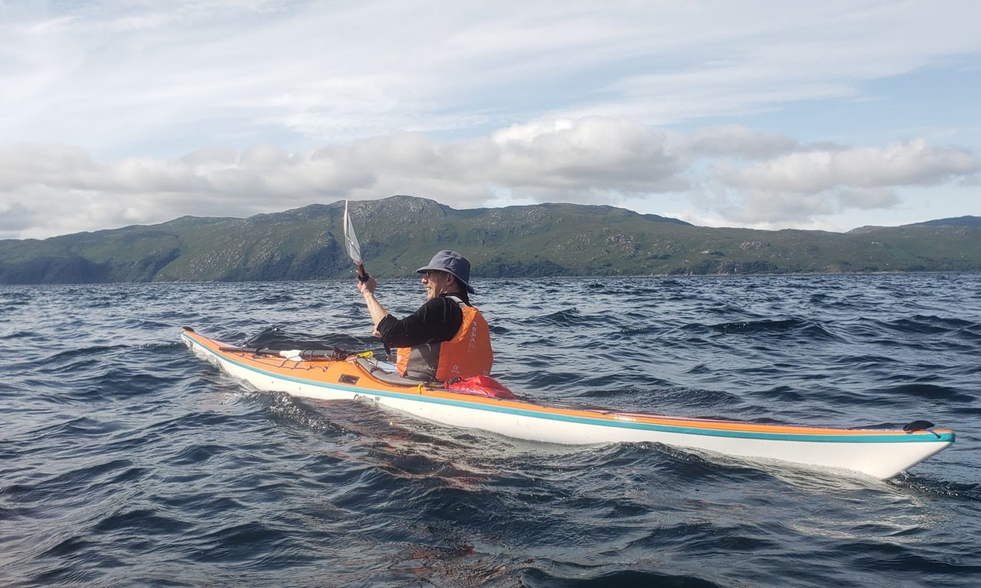
Paddlers: Colin, Bill and Geoff
Weather: Grey and Cool. Wind F2 from north
Location: The south end of Loch Awe is rarely kayaked. 9 years ago the club had a weekend paddle reported at http://www.helensburghcc.org.uk/wp/2010/08/30/loch-awe-weekend-27th-29th-august-2010/ with the route shown below.

During that paddle we came across Innis Chonnel Castle, one of the most impressive castles and least known in the whole of Scotland. This was the target of this trip which also covered the Burial Island to the south of the castle, a nearly submerged classic crannog and the strange village of Dalavich. The route is shown below;

Report: The Argyll Council Access Map https://argyll-bute.maps.arcgis.com/apps/webappviewer/index.html?id=7fa23d13020b4a2cab6485b39a22986d indicates by blue dots access points to the water throughout A&B. The indicated point in this case, provided parking a few steps away from an easy launch, about 6km north of the castle..

It was an easy paddle south with the breeze gently helping us along. A number of islets, which were potentially crannogs were investigated. The actual marked crannog was almost completely submerged because the Loch was so high.

From the crannog we pushed on to Innis Chonnel and the castle. Dating from the 11th century it was a stronghold of first the Campbells and then the MacDougals. For further limited information see https://en.wikipedia.org/wiki/Innis_Chonnell.
The entry is by some steep steps opposite the mainland and we were surprised to see a couple of open canoes parked there. Our surprise turned to astonishment as we climbed up into a scene reminiscent of Hogarth. We had inadvertently stumbled into the “morning after” an annual “rave” with a bank of sound decks, lights, a cover and a set of inebriated and/or high characters in strange outfits or parts thereof.


Apparently there were 50-60 friends at the party and camping on the mound opposite. The Rave has been going on for 10 years and we have no reason to doubt that the mess would be completely cleared up by the organizers as there was little trace over the rest of the castle


After a good look around we retreated from the scene and headed for the burial island of Innis Errich. This is completely overgrown with the old chapel just four low walls and a mass of brambles. Bill carried out his normal inquiries and established from the gravestones it was possible to read that it was in use from about 1750 to 1950


After lunch we headed across to Dalavich. Ten years ago this was a sad place. Built by the Forestry Commission to house workers but the forestry jobs had dried up. The village had no amenities and seemed strange and isolated. In the following years the atmosphere seems to have changed dramatically with a large community centre with a bar that opens every evening and a shop/PO /cafe to cater for daytime needs. There is a regular (if very slow) bus to Oban 4 or 5 times a day. Empty houses have been refurbished and rented out as holiday homes. A major change.

From Dalavich we headed back towards the car, with a slight detour to see if we could get up the river to the waterfall. We couldn’t so a brisk walk and Colin and Bill were in for a very cold shower. Why?

Back to the car and home after a very, very satisfying day. One club member doubted if it was worth going all that way for a day trip. It was.