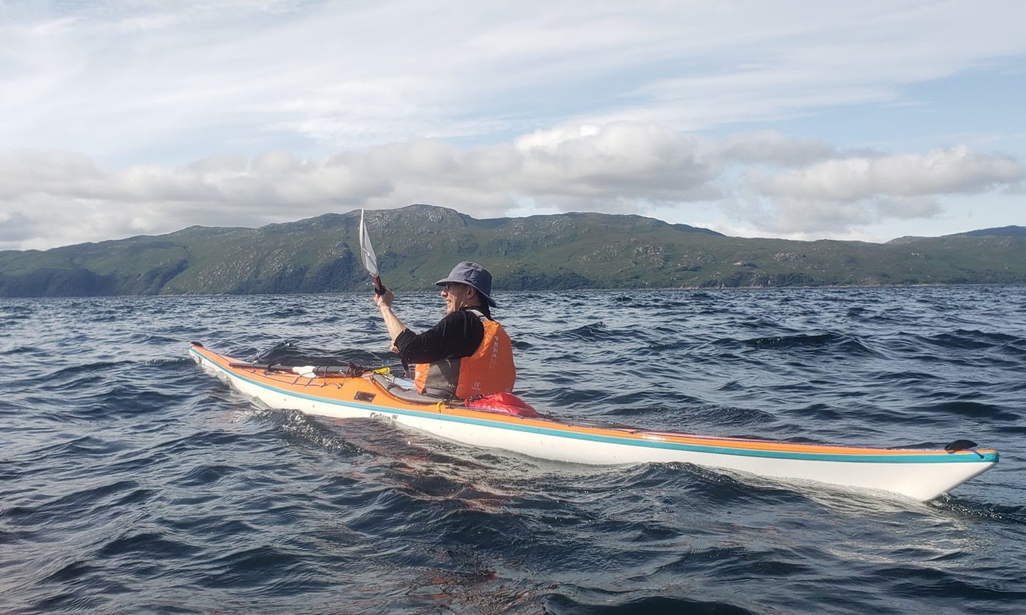
Report: Surfing must be the very best activity ever on a windy Saturday in September. Normally undertaken in short maneuverable craft, sea kayakers occasionally find themselves having to land or leave through surf. So surfing in sea kayaks gives a combination of tremendous fun and sea kayak training.
South Bay, Ardrossan is an excellent place for safe surfing. It is a crescent of soft sand of around 1km between two rocky headlands backed by grass with easy beach-side parking. We parked right behind the toilets in the centre of the beach by the ramps on to the sand. Advice: Take a trolley as it can be a longish walk over the sand.
The car journey in both directions was excellent and took about 70 minutes.
The beach faces south west and we had a strongish force 4 from the South West. The tide had just turned and was on the way in over the shallow beach which resulted in extensive but not huge surf over a very large area, giving long runs. One of us was stationed on the beach the whole time to help with any capsizes (and to take photos).
South Bay BeachKayaker at edge of breaking surf waiting for a run in.
The paddle out was energetic and wet with kayaks either riding the waves or carving/smashing through them.
Geoff and Gordon on way outA wet oneSteve making his way outGeoff on way outStill Paddling Out
Trying to figure out which waves would give a good ride was difficult as big waves were too frequent and broke too readily. The tactic used was simply to keep paddling and try (desperately at times) to hold the line. Normally on a run in you caught a big one and hurtled towards the beach as long as you could hold it with your selection of stern rudders , low brace supports/turns and high brace supports.
Gordon on Run InA run inStern rudder into support strokeSteve on way in
Gordon on run in
Both Gordon and Geoff experienced very wet (upside down) exits and rather slow swims back to the shore. Equally we all had great runs and the satisfaction of conquering a hostile and at times quite frightening environment.
Smug after a great run
We had around 90 minutes for both morning and afternoon sessions, enough to get in around 16 runs each, more than enough. All in all a near perfect day.
Paddlers : Steve W, Steve T, Colin, Innes, Gordon and Hugh
Weather: Max 17 deg C, light SW wind falling away to nothing in late afternoon, sporadic sunshine/overcast.
Route:
Report:
The plan initially included an overnight stop on the W side of the Corryvreckan at Bagh Gleann nam Muc (Bay of Pigs) but as departure approached, the forecast weather for the second day carried too high a risk of not getting back out in the morning. And so a long day was planned for Saturday such that only a short run-in was required on Sunday.
On arrival at Easdale there were several cars in the car park with empty kayak racks and three lady kayakers about to depart for the Grey Dog via the islands to the W of Lunga and Rubha Fiola. Transpired the youngest was an instructor at the centre on Lunga and so well experienced in the area. The sea mist had been giving us second thoughts but seeing the ladies depart we felt rather sheepish to have done so. Departing some 40 minutes late due to deliberating, we headed out to Belnahua even though at that point we could not see it.
BelnahuaBelnahua
A quick stop of 10 minutes then down the Sound of Luing with the flow to the Grey Dog. On the way in an otter surfaced close to one of the kayaks but did not seem to be disturbed.
At the Grey Dog the 6.5 knot (as low as it gets) current was tamed by Gordon and the two Steves who managed get up the S side and rattle down the N side.
Our time contingency had been used before we got started and so we pressed on round Scarba to the place that strikes fear into most amateur mariners, the Corryvreckan. It is no faster than the Grey Dog (8.5 knots max.) but the overfalls generated by an underwater ridge on the flood are positively dangerous to small craft and must be avoided. Where eagles dare indeed, we had seen two of them.
On arrival at Bagh Gleann a Mhaoil some 40 minutes after target we could see no movement of the water but a group of paddlers could be seen hugging the shore apparently having just come through the gulf from the W. Pushing on to Rubha Righinn it was obviously slack water but crossing the gulf from here and getting back would take 25-30 minutes. The total time of slack was estimated to be about 50 mins but we could not accurately determine when the slack started (it was originally intended to watch it) and so the double crossing was reluctantly abandoned and we headed back to the safety of the SE bay for lunch and a look at the bothy.
On arrival there no less than 12 kayaks were on the shore and two of the owners sitting on a log in the light drizzle. The group of some 4 ladies and 8 men were simply a group of friends (some ex SCA Touring Committee) including our own member Grant Montgomery.
They had left Easdale at 0930 and entered the W end of the gulf on the last of the ebb. This was a brave decision because there are only 3 places to get out safely over a distance of 5k and that distance will take the full period of slack water. They had had to tolerate some turbulence at the SW point on Scarba to get the benefit of the flow. They too had reservations about the forecast for Sunday and like us were heading over to camp on Luing.
After a leisurely lunch and a look round the bothy, which has seen better days but in a storm in that area could be the height of luxury, we headed back up the Sound of Luing on the N going tide with the intention of putting in at Cullipool. However when we got there it was decided by the majority to head back to Easdale and stop off in Oban for something to eat on the way home.
A fair paddle which, with the help of tidal streams, covered an estimated 33k (17.8 Nm).
A quick chippy meal in Oban and back in Helensburgh before midnight with all having had an enjoyable day.
Post Expedition Note Re Tides.
As we all know tidal streams can often differ from prediction due to wind, barometric pressure and even weather some distance from the location therefore the best way to get accuracy is to eyeball it. We could not on the day due to the gulf being slack on arrival.
The predictions for the day for slack water used for the plan were;
Reeds Nautical Almanac 1343 – 1435
Tidal Stream Atlas (interpolation) 1325 – 1425
Clyde Cruising Club Yacht Pilot 1405 – 1455
On the day the most accurate proved to be CCC Pilot since we were still sitting in the gulf with no apparent movement close to 1500 but could not risk a further 25 minutes for a double crossing with the W going flood imminent.
The 12 kayak group entry to the W end of the gulf was estimated at 1355 and they confirmed tide was still running E on entry. So again CCC Pilot seems most accurate. A word of caution; Reeds gives slack water times while the CCC Pilot gives the start time of flow after slack water for both neaps and springs. The Tidal Stream Atlas has to have half the slack water time subtracted from and added to the calculated time of change. There are other sources of tidal stream information available for divers and kayakers but it is questionable whether they have greater accuracy.