Gathered are short reports for a very active period of trips and training sessions
Luss: Thursday 19th. Some 22 paddlers turned up at Luss for the training session. The beginners paddled out to Fraoch Eilean to experience seal launches whilst the more advanced headed for Inchtavannach before meeting the beginners for their own session of seal launching. As usual getting very wet by jumping off the pier was popular.
Kidston: Thursday 26th. One of the biggest groups (23) ever undertook the Beginners crossing to Rosneath Caravan Park. There was an easterly breeze which coincided with a tide running fast out of the Gareloch and produced a sizeable chop. This was enjoyed by the most experienced but was quite traumatic for some of our smallest paddlers in small boats.Whislt the youngsters waited for chips the more experienced paddlers carried out an exploration of the yards at Rosneath.
Arden: Friday 27th. This was a training session for group 1 of the Scouts from the 1st Helensburgh at their camp site at Arden
Loch Lomond Canoe Camp: Sat 28th/29th. The usual end course canoe camp on Inchtavannach was brought forward this year. In addition it was combined with an Explorer Scout Camp so that , in all we had some 16 youngsters aged 14-18 and 2 adults. The group set out from an extraordinarily busy Aldlochlay .

As usual the route to the camp site involved a stop off on Inchconnachan to see the ruined summer-house and hunt for the elusive wallabies. With every beach host to a motor oat and tents, not surprisingly none were seen.

We were very surprised that the semi permanent inhabitants of the corner of the site, the Balloch Boat Club, were not the in residence. Tents were pitched and food eaten before we embarked on a short tip out to Inchgalbraith and then back to Inchmoan.


It was a lovely evening around an excellent fire.

The trip in the morning was uneventful and we arrived back early for the lifts back to Helensburgh. Suffice to say all in all an excellent trip.
Day Trip: Dumbarton – Helensburgh. Wed 1st June
Paddlers: Geoff, Allan, Tim and Mel
Weather: Glorious with sun and no wind
Route: Dumbarton- Newark Castle-Craigendoran.
Report: Because of time constraints on two of the paddlers the trip started early and finished by 12noon. WE took cars and boats to Dumbarton and launched from the steps on the west side of the river just below the old bridge and weir.


The river is quite pleasant although the towering edifice of the old distillery building is not attractive. On this glorious morning the Castle looked oustanding.
From the river entrance we cut across the Clyde and headed along the shore to Newark Castle for a break.

From Newark we cut straight across to Ardmore and then on to Craignedoran arriving just at noon. A lovely trip.
Sea Kayak Training Wednesday 25th, Wednesday 1st, Sunday 5th, Wed 8th
The Sea Kayak Expedition Training has 3 parts. Part 1, in the pool, is concerned with rescue techniques, particularly deep sea and solo (paddle float assisted) rescues. Part 2: In the classroom looks at planning and how to avoid dangerous situations (such as rough water caused by wind against tide). Part 3 is concerned with practice; developing strength and experience in long paddles and demonstrating rescues in the cold water of the sea or loch. On th 25th paddlers did a timed run from Duck Bay to Balloch, back up the loch past Arden and then back to Duck Bay. On the 1st it was a non-stop paddle from Craigendoran to Gourock and return. On the 8th it was a run up the Gareloch from the RNCYC.
Four people (Colin, Boo, Jeanette and Francis) did the Rescue section at the RCYNC with Hugh and Geoff in attendance. All managed to rescue, to be rescued and to rescue themselves using a paddle float. 


 A thoroughly useful and enjoyable Sunday morning.
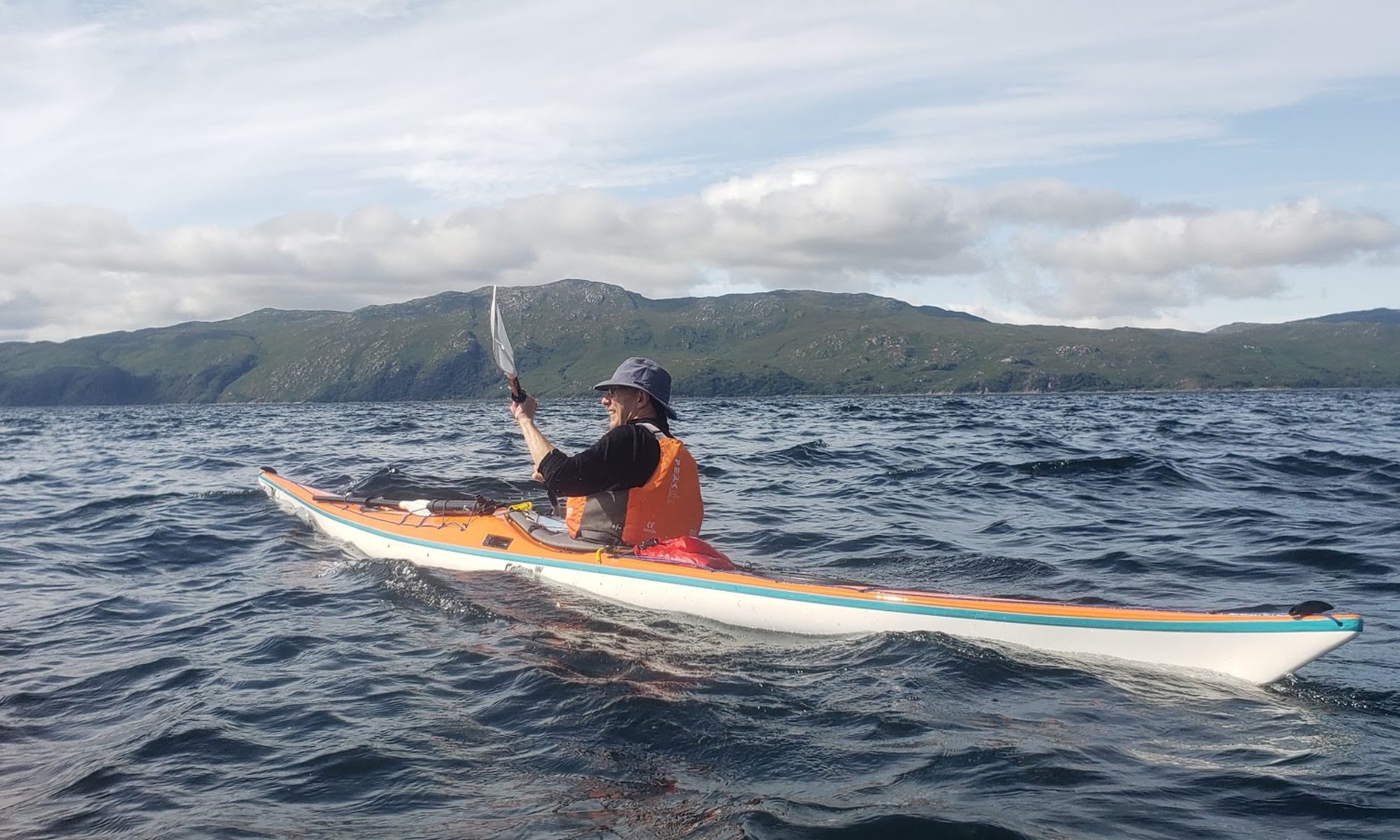
Loch Long: Thursday 2nd
Another excellent turnout (18) for the Beginners/Club meeting, this time at Finnart. A beautiful evening.


![1-20160602_190008[1]](http://www.helensburghcc.org.uk/wp/wp-content/uploads/2016/06/1-20160602_1900081.jpg)
![1-20160602_190139[1]](http://www.helensburghcc.org.uk/wp/wp-content/uploads/2016/06/1-20160602_1901391.jpg)
Friday 4th/Saturday 5th: Arden
A further 3 training sessions for local scouts, 1 group on the Friday night from 1st Helensburgh (group 2) and 2 groups from 1st Rhu on the Saturday morning, who were camping at the site for the weekend. Weather was lovely, water warm and swimming popular!


Day Trip: Wednesday 8th Clyde
Paddlers: David N, Lee, David H, Damien and Geoff
Weather: Misty at first but clearing into another beautiful, hot and windless day
Route: Cove-Holy Loch-Dunoon, Gantocks, Cloch Light, Gourock -Kilcreggan-Cove
Report: Another early start-early finish with all paddlers on the water by 8.50 and off by 14.05. Another beautiful day after the mist cleared. Coffee and Scones at Dunoon west beach, lunch in Gourock and a lot (23km) of very relaxed paddling.


An excellent day.


