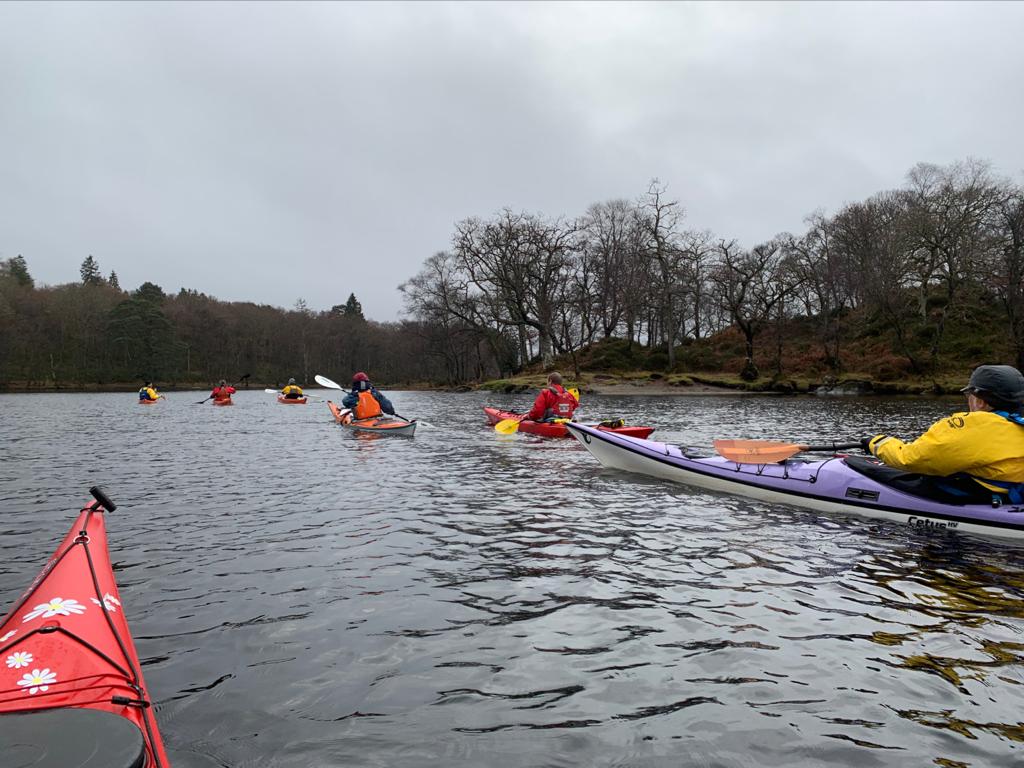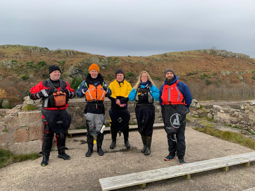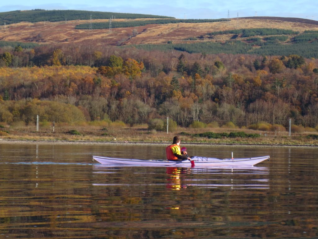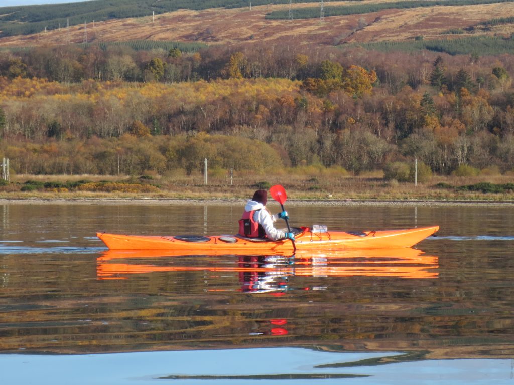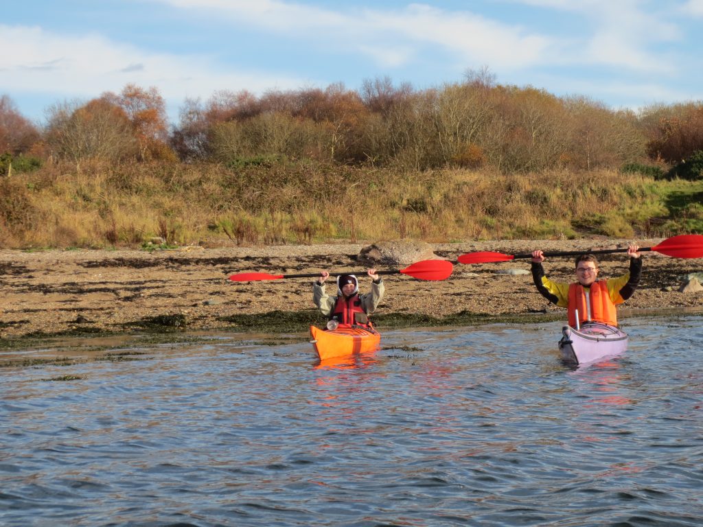
Paddlers: Steve, Geoff, Gordon and Paddy
Non-Paddlers: Mark, Sue (&Vonna of course) plus Colin earlier
Weather: Wind SW Top end of Force 4 with squalls up to F6. Rain and Mist
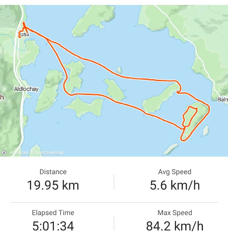
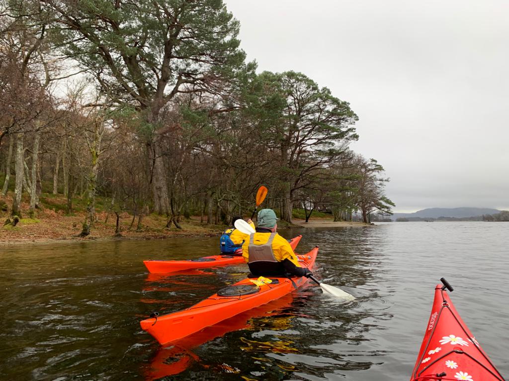
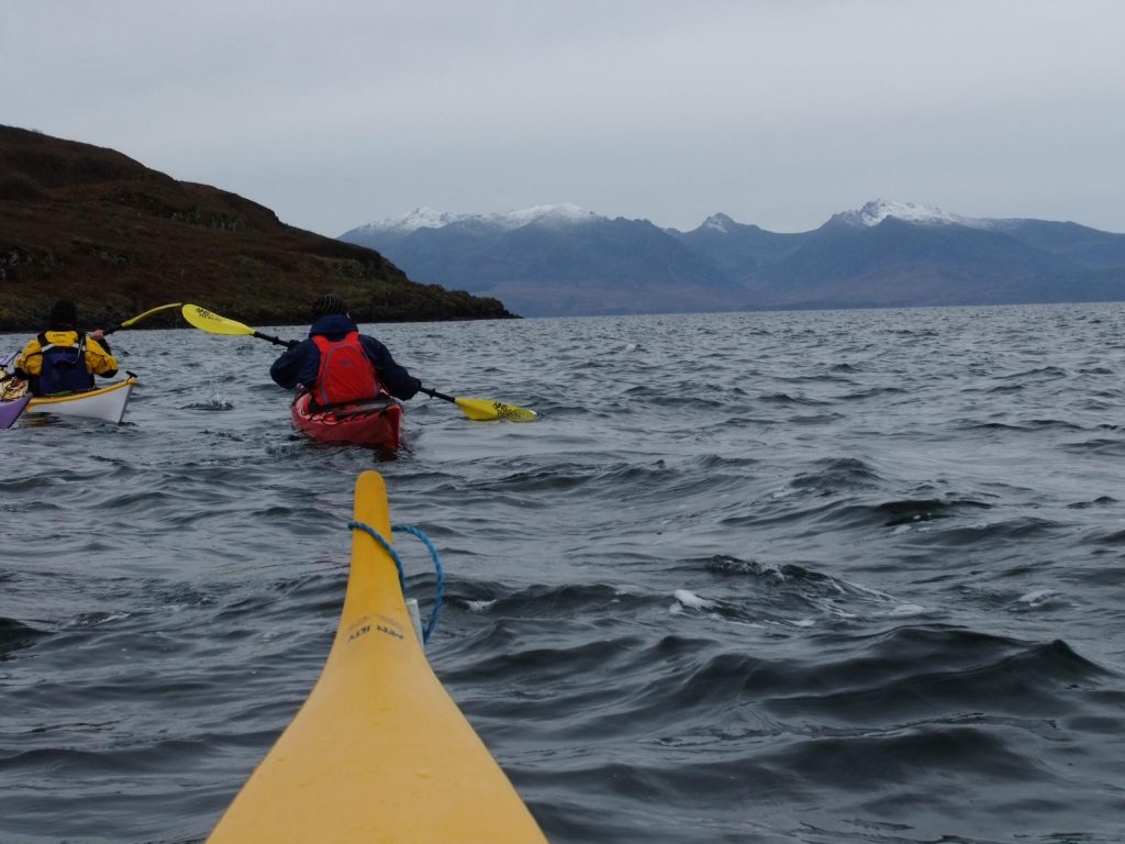
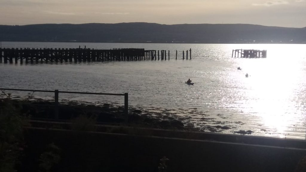
Report: The atrocious weather (wind and rain) was the dominant factor on this short paddle between Finnart and Carrick (and v.v.). We launched at Finnart at high tide and were surprised that the wind was light given the forecast and the experience at Craigendoran.
We crossed to the west bank of Loch Long and followed that south into the wind. As we rounded the point, the wind and sea became serious. A strenuous 40 minutes directly into a very strong wind then followed, lightened only for a relief stop on the beach beneath Corran Cottage. Amazingly three other kayakers were also sheltering on the beach.
Strong winds at the mouth of the Goil are far from unknown. The wind tends to find its own route through and around the hills and can turn a South Westerly into a North Westerly as shown in Fig 1

Fig 1: Winds at the mouth of Loch Goil on Saturday
Still, we thought, it will be an easy paddle back.
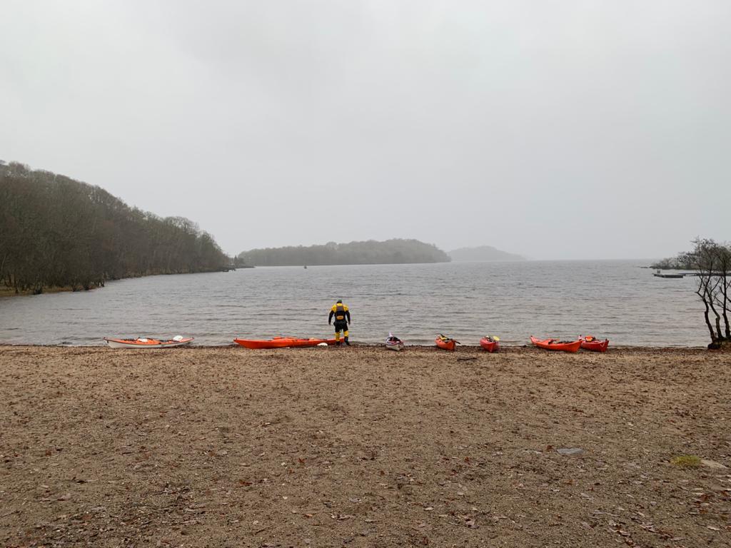
After an excellent evening socialising in the barn and a rather wet night in a tent, 9am saw us back on the beach at Carrick for the short paddle back to Finnart. To our increasing amazement, the westerly we had battled on Saturday had apparently turned 180 degrees and been transformed into a strong easterly as shown in Fig 2. It was raining heavily.

Fig 2 Wind at the mouth of Loch Goil, Sunday
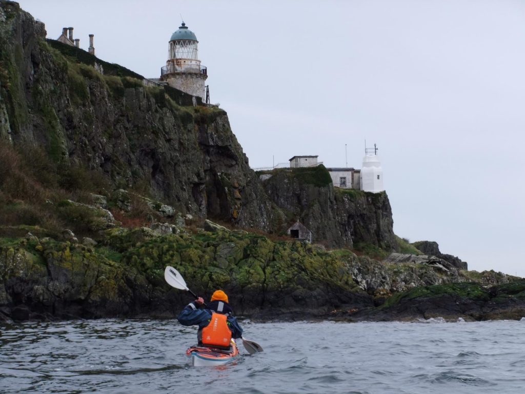
After the point was rounded, the paddle up Loch Long in the strong following wind was not always comfortable and was not helped by the cold on the hands from the wind. But it was soon over, reaching Finnart at almost exactly the same time as the three kayakers we met on Saturday.
It would be very difficult to explain why paddling in these conditions (strong wind and heavy rain) was so enjoyable, but it was. Coupled with the barbeque, the companionship of other paddlers from Toward and West Coast Rollers and a fond goodbye to Vonna and Jai, it proved to be a really good weekend trip.
Geoff Riddington